The location and drift direction of Hawaii can be calculated! It is exactly the same calculation as previously made here for Yellowstone and California.
The formula is:
alignment of convection rolls = arc tan {[(35.342 – (ϕ – 32)2) 0.5 / (ϕ – 32)](1/cos ϕ)}
where ϕ is the latitude. Hawaii is on 19° 23.300’N.
The convection rolls are aligned close to N30°E and N30°W.
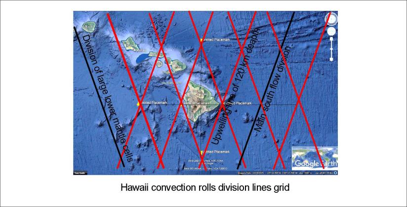
The result for topography and tectonic drift is half of that angle:
α = (arc tan {[(35.342 – (ϕ – 32)2) 0.5 / (ϕ – 32)](1/cos ϕ)})/2
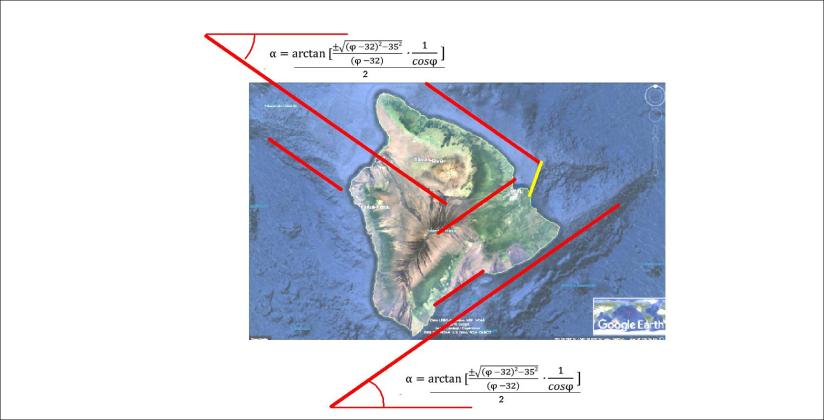
This immediately reveals the main directions of the topography, sea bottom features, and of course the tectonic drift.
It is therefore nothing strange about the location of Hawaii. The location can be compared with the convection cells model of the mantle and understood accordingly.
The location can be compared with Iceland’s position within the convection rolls grid of the Earth, as has been done here in a previous post.
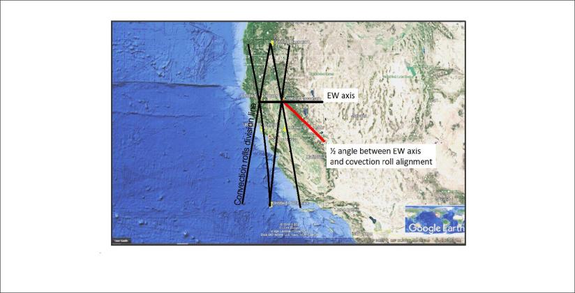
The framework around the San Andreas Fault
The tectonic alignment of Yellowstone calculated in the same way as for volcanoes in Iceland

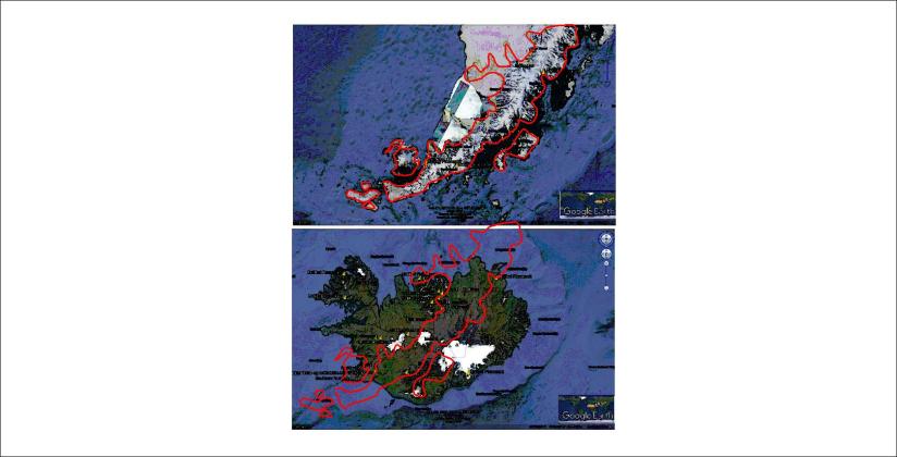

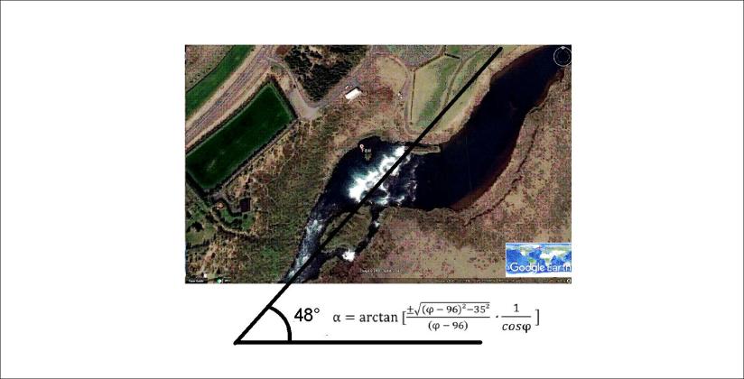
 Faxi is not far from Gullfoss and Geysir and has been seen by many on the so called Golden Circle Tour. Again, the alignment of the waterfall is a curiosity. The river Tungufljót makes a turn and forms a waterfall over the cliffs almost in the opposite direction of the river. This feature can be calculated, as the cliffs follow the orientation of convection rolls. This is best shown with a Google map and the relevant drawing and formula:

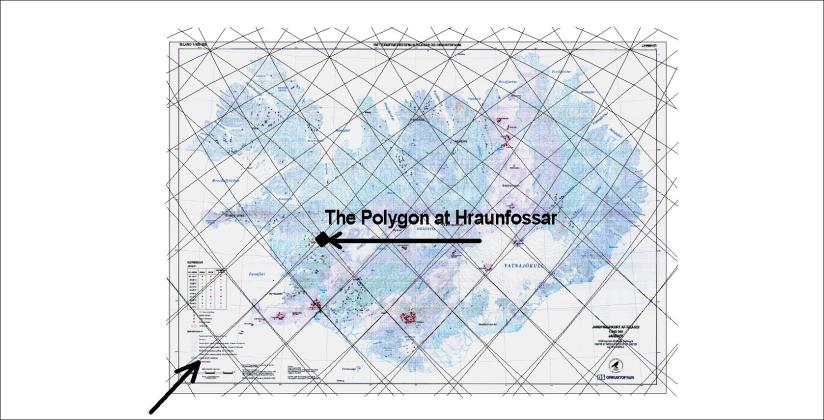
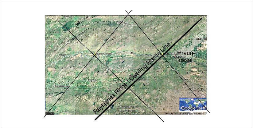
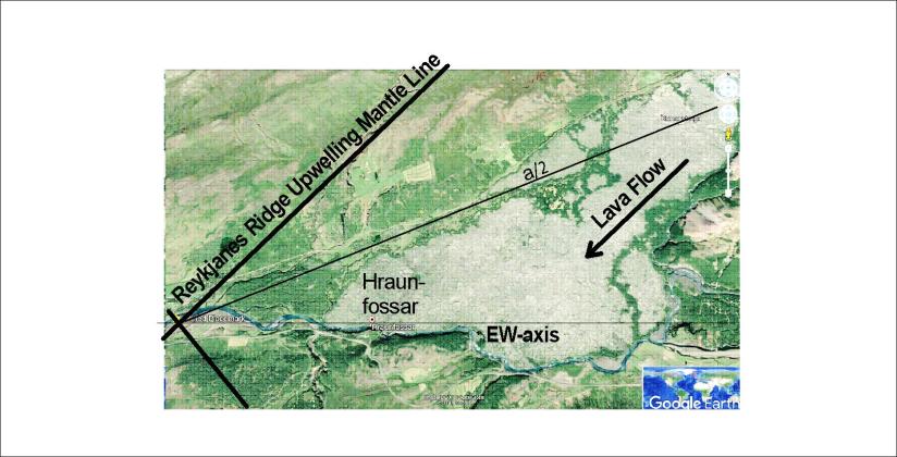
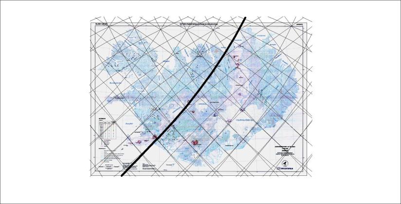
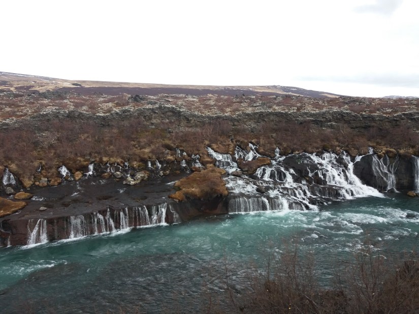 Hraunfossar – the waterfall of no river above it! The beauty and special settings of Hraunfossar can be partly explained. First we have to have in mind its position compared to the convection cell grid, as shown here on the base of a map from Náttúrufræðistofnun and Orkustofnun: