We are so lucky that we have land in the southern hemisphere at the same latitude as Iceland. It is known as the Antarctic Peninsula. We can compare the two areas quickly:
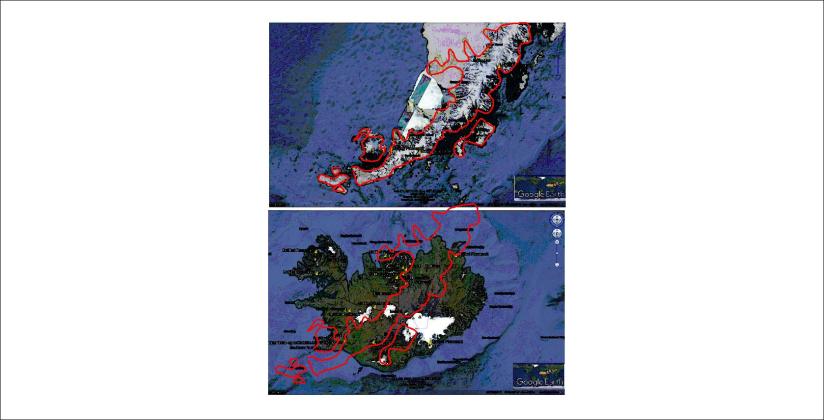
By adding the outlines of the Antarctic Peninsula over Iceland according to similar positions according to the convection rolls, the coast of the peninsula follows the same trend as the main division line of the Atlantic Ocean as it can be traced over Iceland.
It looks like this on the map base of Náttúrufræðistofnun and Orkustofnun:
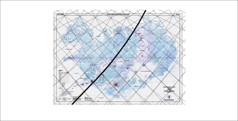
The accuracy is quite striking, but again we have to have in mind that the same kind of forces underneath shape the surface. You do not have to look twice:

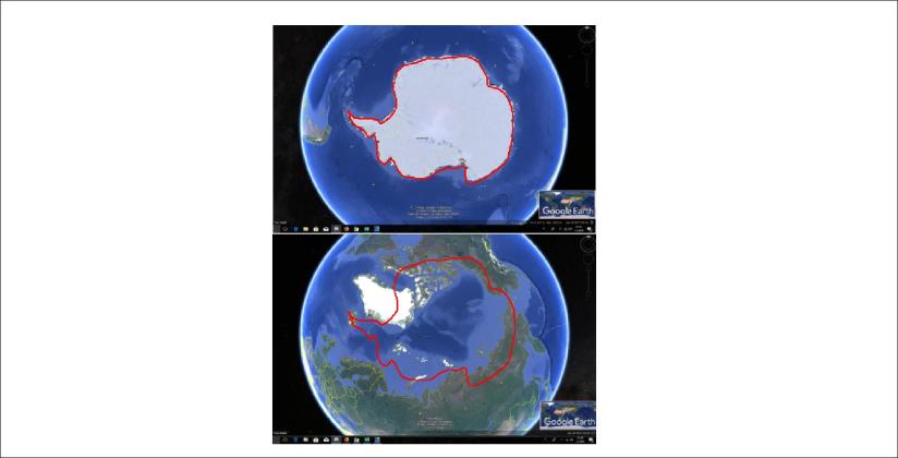
The comparison is not only made according to latitudes, but general layout of Antarctica compared with the Arctic Ocean. For curious people the drawing on the Google map is shown here:
What was that? Now we can start speculating!
