The south of Baffinsland is shaped in the same way as Iceland. Just compare these drawings:
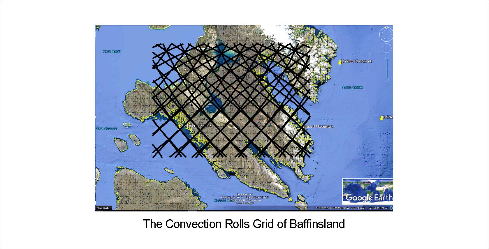
It is obvious that the main faults and coastlines follow the lines. It is also important that at 64°N, Baffinsland extends exactly 9° from coast to coast, or the width of 6 convection rolls. Just to clarify:
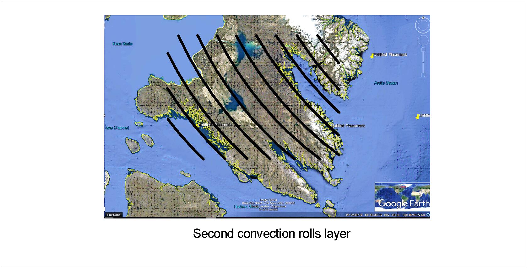
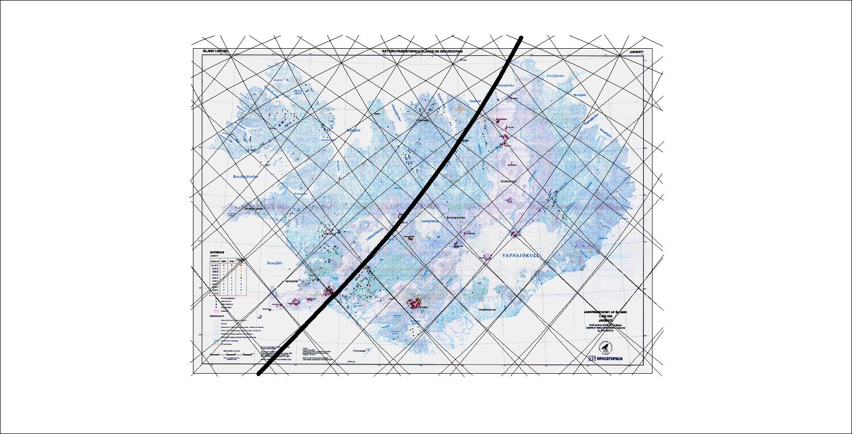
In Iceland, at the same latitude as this part of Baffinsland, the upper most (first) layer is of course more apparently shaping the surface. Here is a map of Iceland (based on a map from Náttúrufræðistofnun), and the grid has exactly the same pattern as for Baffinsland:
The numerous details can then by worked out by scrutinizing these maps.
