The distribution of Danish land can be explained according to the mantle currents.
This is a simplified convection rolls division lines drawing on a Google map base:
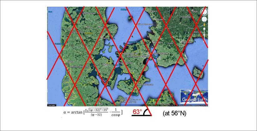
This provides a base for analysis (if we are assured about the mantle convection system).
Therefore we can draw further by adding a few lines of reference:
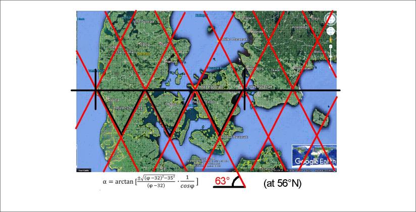
The main EW-axis goes right through Copenhagen, marked with a black line.
The easternmost point is also Copenhagen, and exactly 4.5° farther to the west is the west coast of Jutland. (Each convection roll extends 1.5° from east to west.)
This belt of Denmark is made up of three main polygons, one representing Jutland, one for the island Funen and one for the island Zealand, on which Copenhagen is located.
This provides a base for the geometry of Denmark.
