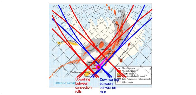
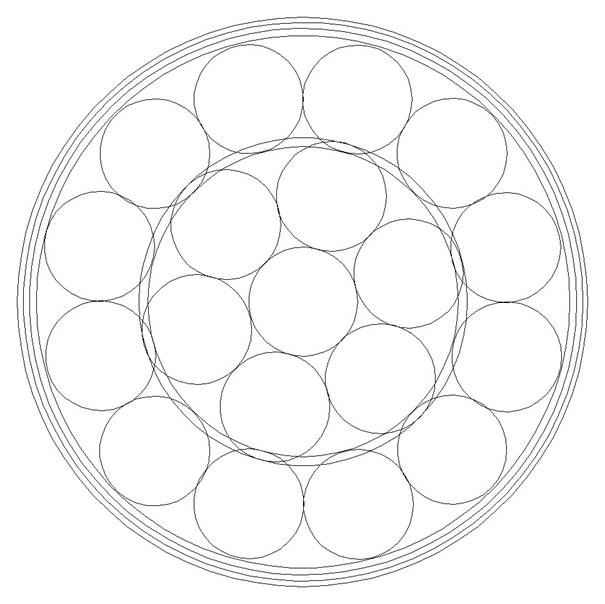
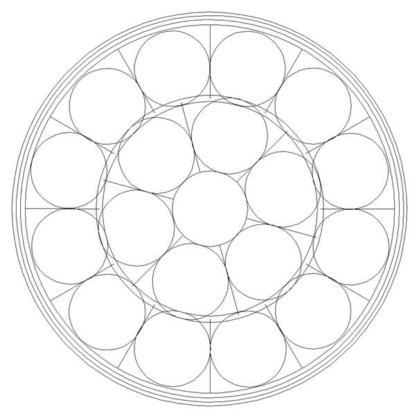
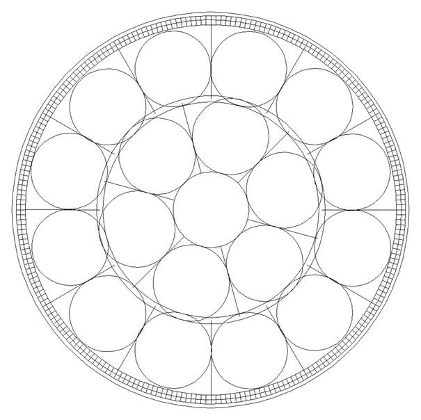
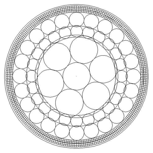
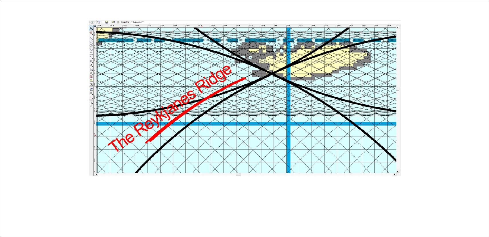
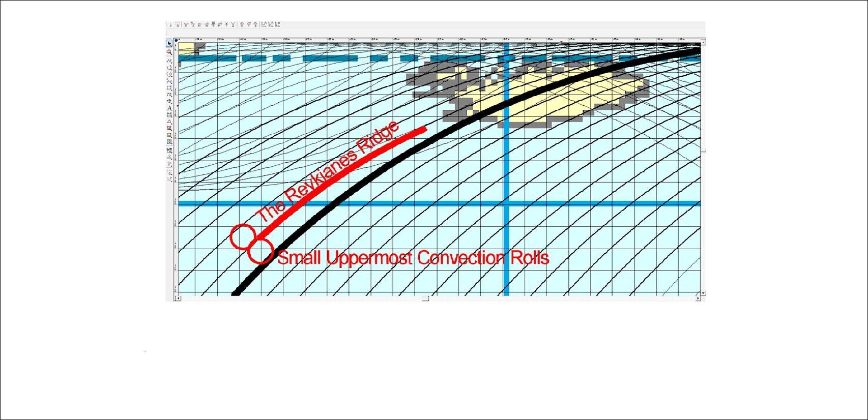
There are seven volcanic zones in Iceland. Let us analyse that on a simplified map. The volcanic zones can be described according to convection rolls pattern. (Four different layers of convection rolls cut through the ductile part of tectonic plates with Muroe Effect at the division lines, creating this pattern of polygons. It is the same law of physics as used for shaped charges.)
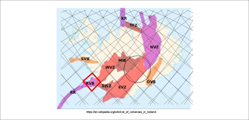
First, the Reykjanes Volcanic Belt (RVB) is found within a polygon, bending to the next polygon to the SW, forming the end of the Reykjanes Ridge.

The West Volcanic zone is related to a polygon in the western highlands, and does occupy it fully.

A more complete picture is shown when the half the adjacent polygons are combined with the main WVZ polygon. To understand better, we can have a look at an old map as a base:

This map shows the connection between the WVZ, RVB and RR. The third layer of the intersection zone is shown. (It is the upper most layer for most of the globe, from equator to 60.7°N and 60.7°S.)
Let us keep on with the wholistic comparison:

The Mid Iceland Volcanic Belt is represented by the central polygon, only slightly extanding out of that area, mainly in the southern part of the next polygon to the east.
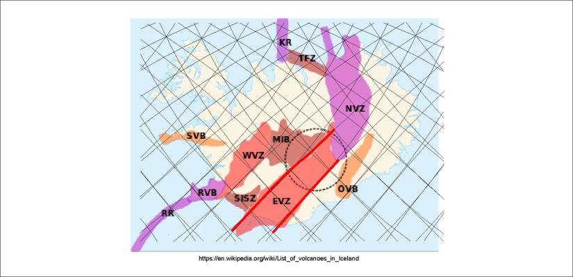
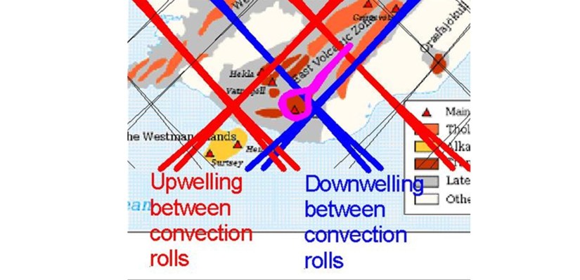
The East Volcanic Zone shows very strong resemblance with the convection rolls pattern. It can be explained, as the upper most roll is extending from NE to SW under that area. The mantle flow is mainly from west to east, pulling the crust apart, playing the main role of tectonic drift at those latitudes.

The North Volcanic Zone is aligned NS, and the axis can be shown with a single line.

To further clarify how the zone follows the NS-symmetric pattern of polygons, the main ones are pointed out here.

Finally, the outer limits of the NVZ are drawn through the central axis of the peripheric polygons.

Finally, the two outposts of volcanic zones, the Snæfellsnes Volcanic Belt and the Öræfajökull Volcanic Belt are shown. The endpoints are Snæfellsjökull and Snæfell, and those two outposts of Icelandic volcanoes are found on the same latitude, in the same settings compared with the convection rolls pattern.
More accurate comparison can be made with more precise maps, such as this one:

The accuracy of division lines and mapping of surface features becomes obvious. The SISZ and Tjörnes Fracture Zone can also be connected with certain polygons and lines.
Marking up a few features can clarify a few things:
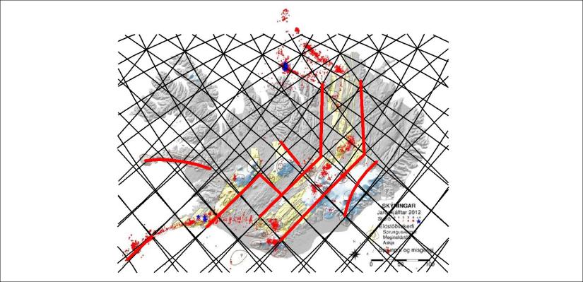
The convection rolls extending from SW to NE are quite dominant, but at around 65°N, where the effect of the other convection rolls becomes more apparent, and the pattern becomes more complicated, a sharp turn to the north occurs. the NVZ has several volcanic systems arranged in an en echelon pattern directly to the north. Then the Tjörnes Fracture Zone obviously follows the convection rolls aligned SE-NW of the equator system.
In this way, the volcanic zones can be compared with the convection rolls under Iceland.