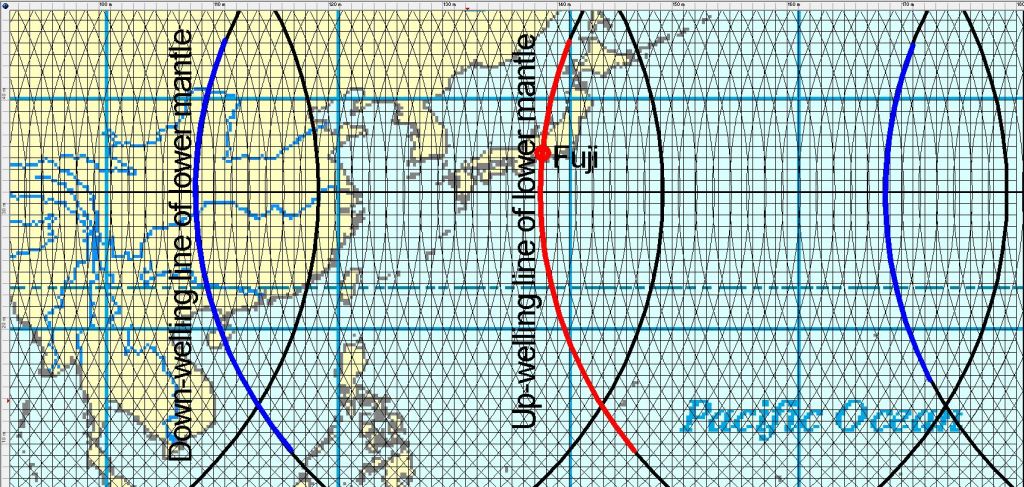
The huge Pacific Ocean Plate moves fast westwards, and the reason is flow of mantle material. But how? Many convection rolls participate in moving the plate. The rolls moving in the same direction as the plate must be more coupled to the plate than those opposing the dirft direction. Thereby, the drift can be maintained over this huge distance. The small rolls, spanning 1.5° from east to west are mainly responsible for the direct force applied on the plate, but large scale trend is ruled by the large scale rolls underneath.
This can be shown with a section of the equator plane seen from the north.
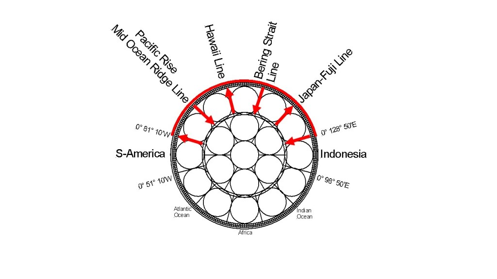
The Pacific Rise along equator has, at first sight, an opposite flow direction to the drift direction of the plates, but the Pacific Plate is pulled away by the large section west of it, and the Nazca Plate is then the counterpart drifting to the other direction, namely to the east.
So the Pacific Ocean conceales the system below by not having formed a ridge where Hawaii is located. At first sight, The ridge should have formed there, with a whole plate reaching S-America, and the other half extending to Japan. If it was like that, the system above would have been realised a long, long time ago, when the ocean ridges were first mapped.
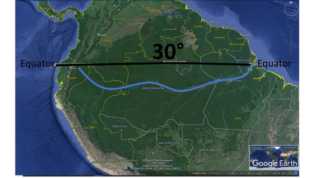
The 30° step pattern along equator has been mentioned here several times. It is more obvious for S-America, Atlantic, Africa and Indonesia. The Pacific Ocean division points are found at other latitudes, but easily comparable, and the starting points of S-America and Indonesia are of course in common with the end points of the ‘coast – 30° – coast – 30° – ocean ridge – 30° – coast – 30° – coast – 30° – ocean ridge – 30° – coast – 30° – coast – 30° pattern’ from S-America to Indonesia.

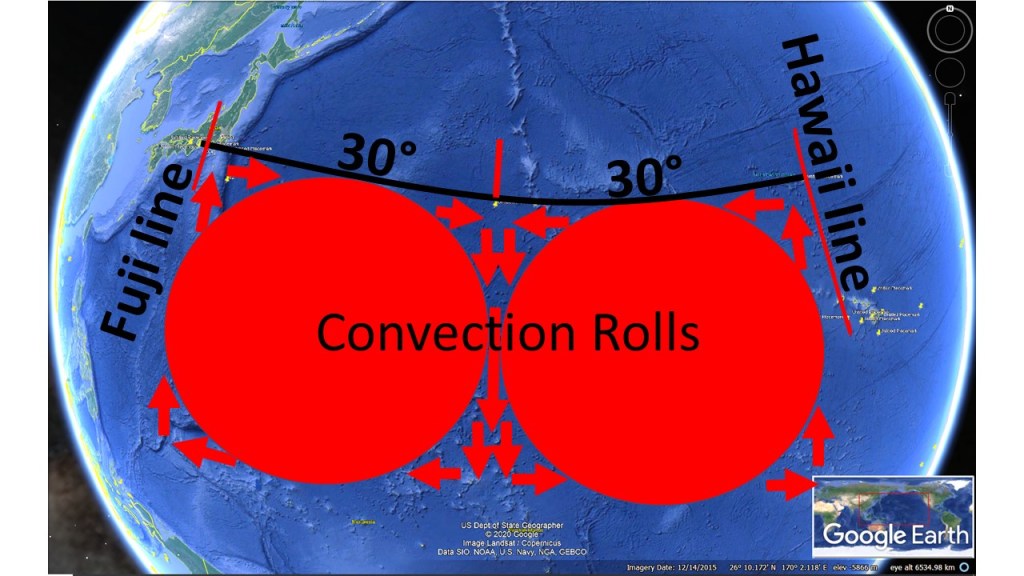
The down-welling line in the middle is also responsible for Juan de Fuca, so between Hawaii and N-America there is mainly only one convection roll found of 30° from east to west.