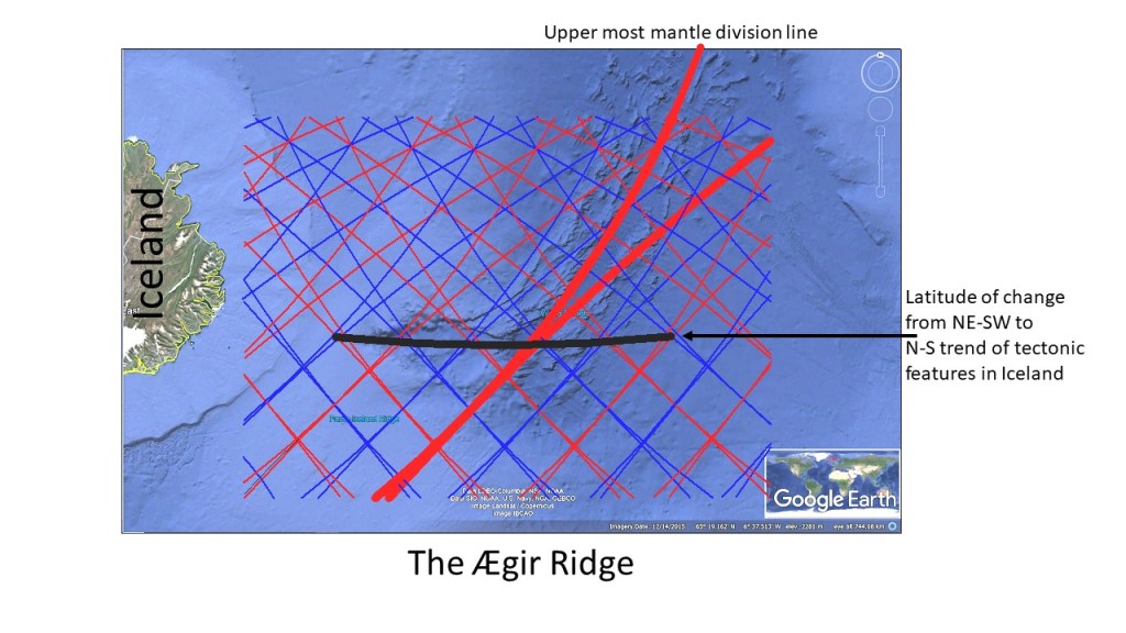
The rift valley of Thingvellir is found at the point where the western edge of the West Volcanic Zone of Iceland intersects the N-S axis of the relevant polygon of mantle convection rolls division lines. The location is shown here:

The Rift Valley is the most valued of any place in Iceland, the No. 1 National Park, established in 1930 on the occasion of the 1000th anniversary of the National Assembly of Althingi. Usually, the part of the Rift Valley called Almannagjá is filled with visitors, but this time not, during summer 2020.
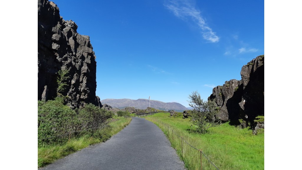
The cliffs to the west mark the western boundary of the West Volcanic Zone. Within the Volcanic Zone, this area is a part of the Hengill Volcanic System. According to the Convection Rolls System, the SW-NE alignment of the Volcanic System, and the N-S axis of the Thingvellir Polygon, intersect here. The polygon has a basic trend of breking up along the N-S axis, so therefore the Rift Valley of Thingvellir becomes specially prominent in this area.