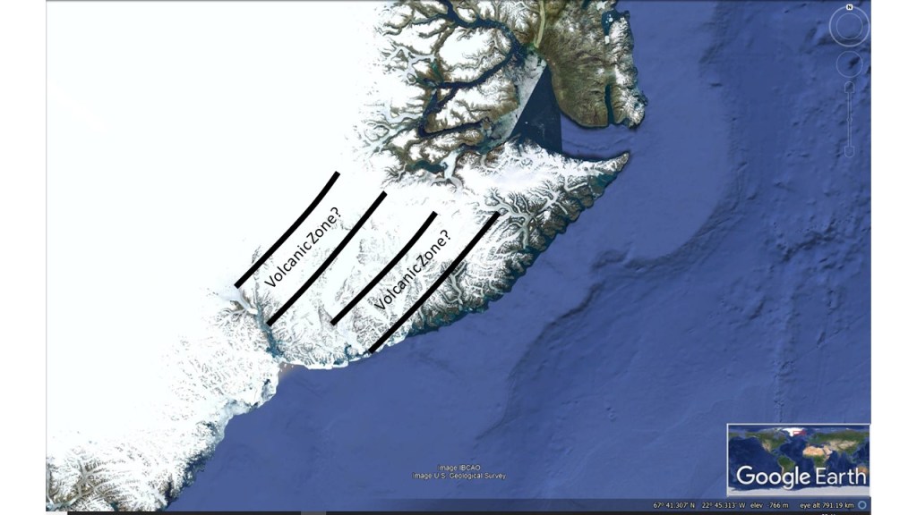
Knowing the different layers of Earth, we can find out the pattern of convection currents within them. It is obvious within the equatorial plane, because the most regular pattern possible fits exactly into it. Outside the equatorial plane, both centrifugal force and convection paths have to be considered separately. Accordingly, the whole system of convection rolls within the mantle could be analyzed. Knowing the position of convection rolls all over the planet, all the comparison found within this site could be made.
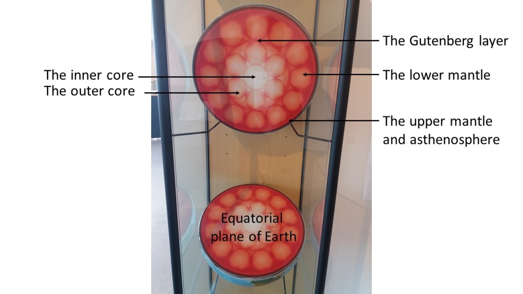
The core of the earth is extremely hot, constantly being heated by radiation. The radioactive material is mainly found within the upper layers, but the mantle must let the heat radiation through all the way down to the core, thereby heating it. The heat is then transferred from core to the bottom of the tectonic plates by convection currents. That is how the Earth works.