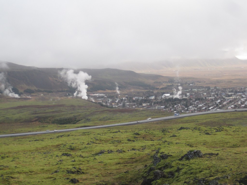
The convection rolls of lower mantle cover 30° from east to west. The Polar and Equatorial parts of the total system intersect each other. The result is that below the 64th parallel, there must be a division within the lower mantle at the depth around 1655 km. The best place on the surface to represent this, is where the two division lines of lower mantle coincide over divergent plate boundaries, namely at the town of Hveragerdi.
On the map, here below, the two division lines between convection rolls have been marked. The blue line shows the lower convection rolls (below 1655 km depth), and the black line shows the upper convection rolls division line (above 1655 km).
This can be difficult to visualize at first. The lower rolls are actually subducted north of 60.3°N. Hveragerdi has also four layers of small scale convection rolls in between 120 and 410 km depth. The combined effect of these division lines creates these special surroundings above.
