Uncategorized

EW-alignment of the Balkan Mountains

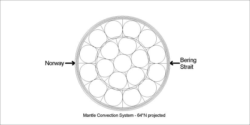
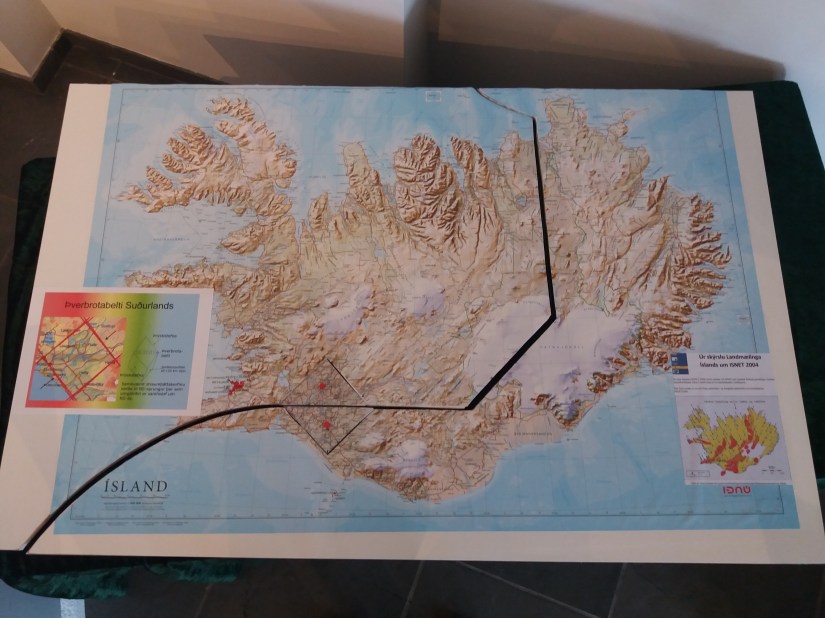
Bulgaria has a central axis along the Balkan Mountains, clearly aligned EW. This gives Bulgaria its square appearance. Comparing the mountainos region with convection cell model, it appears that they have drifted into the central axis enclosure of a row of polygons, therefore adjusted to a perfect EW alignment.

Bulgaria - Balkans

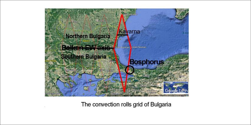
This divides Bulgaria into South and North parts. The coastal polygon is partly responsible for the formation of the Bosphorus.

As previously mentioned, this analysis was made on the occation of a visit to Kavarna with high cliffs at the seaside.

Black Sea - Kavarna

Mnogo dobre!

Uncategorized

The 180° of Eurasia between Norway and the Bering Strait

According to the analysis presented here, equator and the parallel of 64°N have mathematically identical outcomes. Even though the rotation provides much more angular velocity at equator, special things appear at 64°N as well.

Mainland of Eurasia 180 at 64N - 02

Some would just show some reflex and start talking about something else, but there is a reason for this.

Norway - Bering Strait

The division lines between mantle convection rolls have a long term guiding effect for the tectonic drift, leading to these results.


Uncategorized

Connection between Tungnafellsjökull and Bárðarbunga volcanic sites

It has been noticed that rifts have opened up in the area of Tungnafellsjökull. At the same time, Bárðarbunga has been quite active. According to the layout of the grid of Munroe lines feeding the volcanoes, it looks likely that magma actually flows from the line through Tungnafellsjökull into the magma chamber under the caldera of Bárðarbunga. The flow would follow this arrow:

Tungnafellsjökull - Bárðarbunga

The magma did flow a long way until the eruption of 2014 in Holuhraun started. As shown in former blog post:

Bárðarbunga magma trail


Uncategorized

The Caribbean twins

Of course no one can answer this properly. The similarities are countless and both areas are formed due to the formation of the Atlantic Ocean. The island arches forming at the eastern margin are arranged similarly. The area marked on the map below is very well known as the Caribbean Sea.S-Ameríka - Skil norðan við

But south of S-America is a less known ocean:

S-Ameríka - Skil sunnan við

These two areas, somehow inserted into the Atlantic Ocean, are strikingly similar. The settings are comparable, at the outreaching ends of N-America, S-America and Antarctica, so we can have some kind of feeling for why the similarity occurs. One of many magic wonders!

So what does this tell us? The fact that this degree of similarity can occur, aligned exactly the same way compared to NS and EW axis, the interplay of tectonic drift and rotation of the Earth has to be very similar. Those traveling through S-America might also be interested in this. At least, if this kind of similarity would be found north and south of Iceland people would mention it. S-America is big enough to somehow keep this out of sight.