
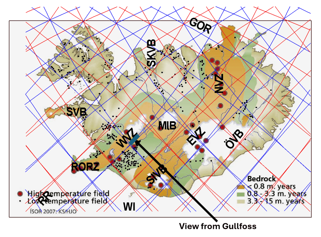
Gullfoss, the Golden Waterfall, is one of Iceland’s most visited natural attractions. Its water is supplied by the Hvítá River, which originates largely from the Langjökull glacier. Looking that way, towards the glacier, the point of vies is as shown on this map, and the map itself tells its own story:
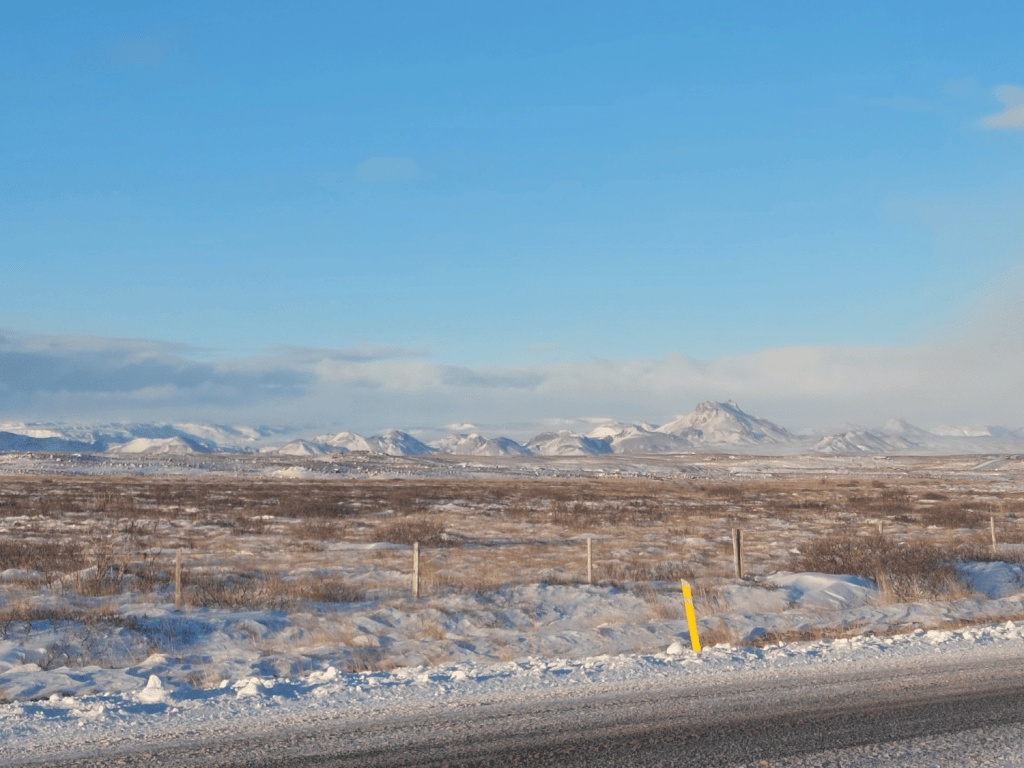
Along the southeastern margin of Langjökull lies Jarlhettur, shown below, a prominent chain of volcanic mountains formed during eruptions beneath glacial ice. These mountains are situated close to the eastern margin of the Western Volcanic Zone (WVZ).
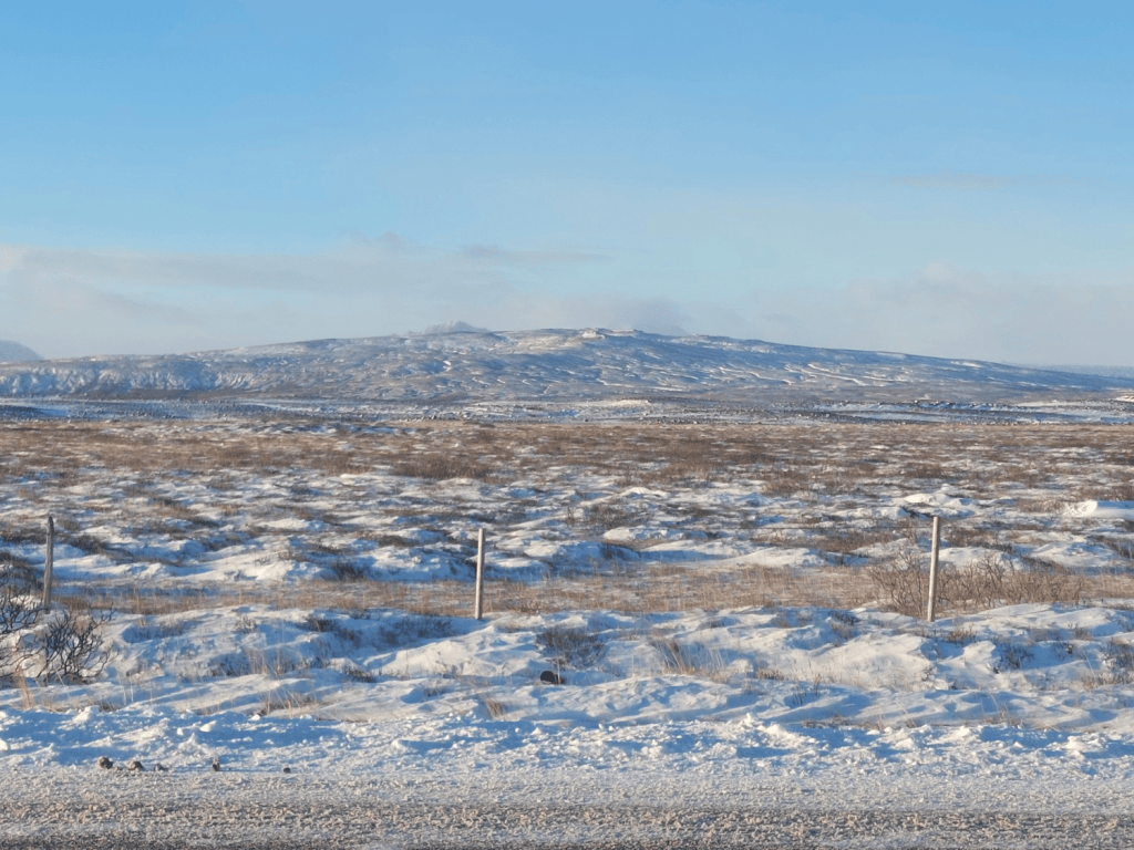
And here is another picture, Lambahraun, a shield volcano with a clearly identifiable summit crater, is another important volcanic feature situated near the eastern margin of the WVZ. The two pictures can be combined.

The geographical alignment of these volcanic formations is particularly interesting. Together, they form part of an elongated zone of volcanic activity, suggesting the persistent influence of similarly oriented geophysical forces operating at depth.
Within the framework of the Convection Rolls Model, this alignment is interpreted as a surface expression of the underlying mantle convection system. In particular, the model proposes that boundaries between convection rolls in both the upper and lower mantle coincide geographically beneath this elongated zone of geologically recent volcanic activity.
The significance of this relationship lies in the possibility that volcanic structures formed at different times may preserve a common directional pattern, reflecting the long-term organization of mantle convection beneath Iceland.


