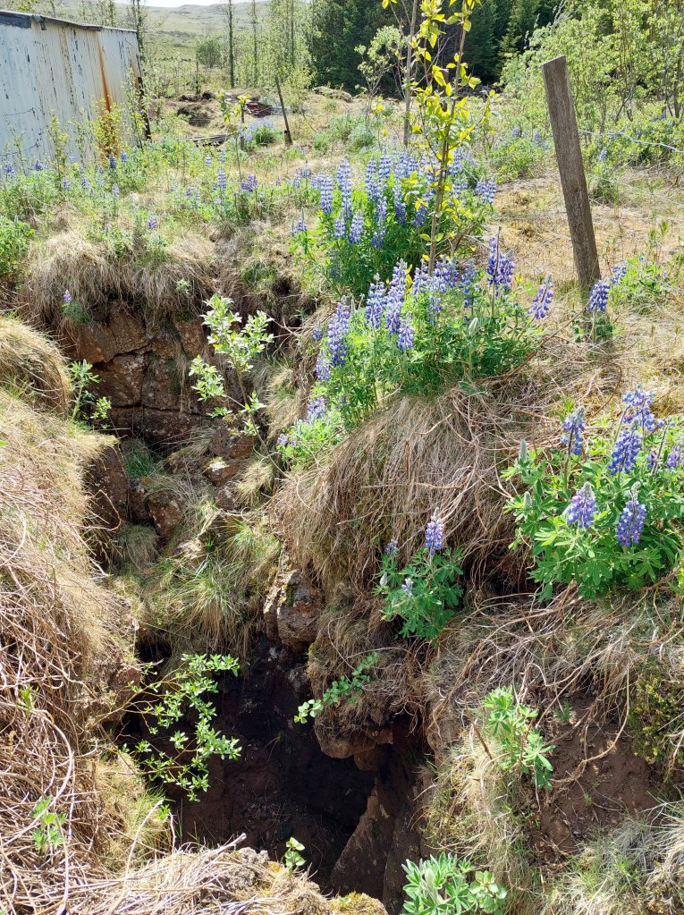
This crack was measured to be 10 meters deep shortly after the large earthquake of Southern Lowlands in Iceland, June 21 in the year 2000, measured to be 6.6 on Richter scale.
The earthquake fault of June 21 2000.
The picture is taken just south of road number 1, towards the shouth. The fault is right-lateral, so if you would have stood at the side of the moving fault, the other side would have been seen to move to the right hand side.
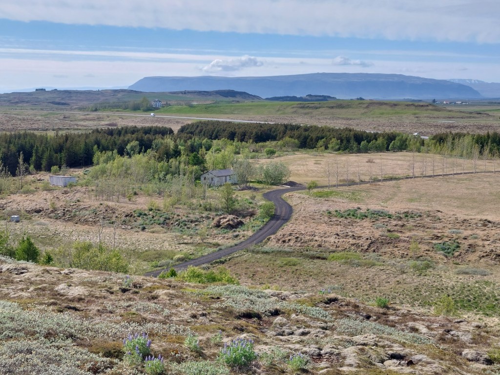
The fault area (the crack extends between the small houses), and Ingólfsfjall in the background.
The side of Ingólfsfjall seen above is actually marked by an earthquake fault, oriented directly N-S. This is just south of 64°N, the central latitude of the South Iceland Seismic Zone. The faults themselves are all parallel, with the average distance of 715 meters in between them.
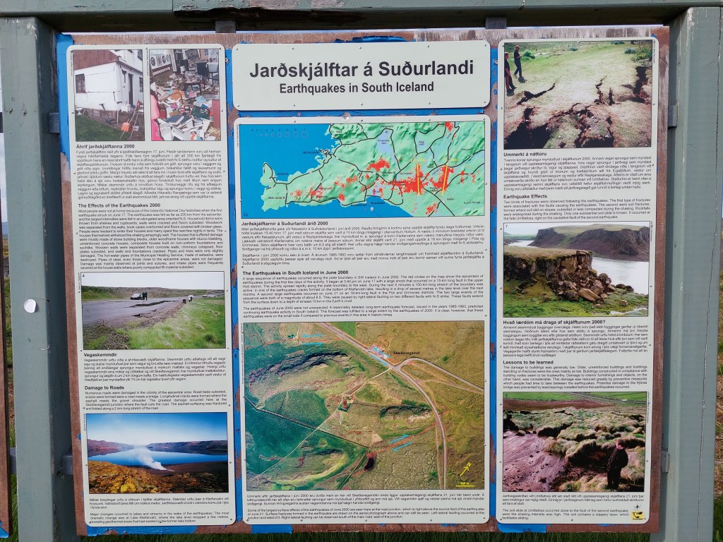
Explanation sign at the crossroads where the earthquake occurred.
The South Iceland Seismic Zone reveals the convection rolls, because it extends exactly over one roll from west to east, that is from the town Hveragerði to Hekla Volcano.
I am a geologist, graduated from the University of Iceland, and taught geology for a few years. I have gained some knowledge about Earth's inner structure, so I provide this website as my contribution to answer one of the greatest questions remaining within the realm of geoscience. Experiments show that the mantle should form convection rolls when close to the melting point. I took this literally, and calculated the dimensions and shape of these mantle convection rolls. Then I compare that model with the surface. This makes it possible to provide many interesting examples about geology found on my blog.
View all posts by Steingrimur Thorbjarnarson