There is a reason for the square shape of the Iberian Peninsula. The northern and southern coasts were originally both cut E-W by transform faults of the Atlantic, extending from the mid-ocean ridge. Those structures clearly trend to form along the main directions of east and west, due to Earth’s rotational effect on the underlying mantle. Similarly, the west coast is aligned directly N-S, and in general the Mid-Atlantic Ridge is undisputably, as a large-scale feature, aligned N-S, although swaying back and forth. For orientation, you can watch: https://www.youtube.com/watch?v=-ye-3WGFh_Y
The result is a square shaped area, and the origin of that shape should be analysed in some detail. Here, it is explained according to the convection rolls system underneath. First, we should look at the peninsula in a clear way:
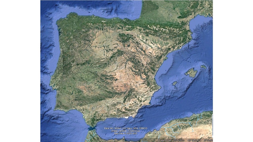
Then let us insert the relevant lines, the square itself and the convection rolls two layers pattern:

We are so used to looking at maps, that the special shape somehow escapes from our attention, but drawing the square it can not be denied that it follows the E-W and N-S alignments very closely, and would be statistically unimaginable as a coincidence. This can be explained, providing an opportunity to enjoy this geological aspect of the area.
The Wikipedia article about the Iberian Peninsula: https://en.wikipedia.org/wiki/Geology_of_the_Iberian_Peninsula
