The Golden Circle Tour is by far the most popular day tour in Iceland. The scenic areas are mainly Thingvellir, The Golden Waterfall and Geysir hotspring area. The travellers enjoy nice view on the way, such as of the mountain Ingólfsfjall, and probably regard it as extra scenery. But the mountain is a very interesting tuya, and should be inspected more closely. You can read about it here: https://en.wikipedia.org/wiki/Ing%C3%B3lfsfjall
The mountain has a NS-structure, just like other tuyas in Iceland. It has been shown that eruptions take place through NS-aligned earthquake faults, explaining the formations. Looking at the mountain from above, the resulting square form can be identified easily. The eruption at Fagradalsfjall of Reykjanes is of that category, so this has rewaken our interest in this type of volcanic activity, as shaped Ingólfsfjall.

At the eastern side of the mountain, two rivers meet, namely Sog and Hvítá. The Sog River flows from Lake Thingvallavatn at the olld National Assembly Site of Iceland, and Hvítá River has its origin in Langjökull Glacier, and does posess the Golden Waterfall. The name of the river, formed by the combination of those two, is Ölfusá. It can be noticed that Sog and Ölfusá together flow directly from north to south, due to the NS earthquake faults found in the area. Hvítá, on the other hand, follows the alignment of the volcanic zones at the meeting point.
Driving along the eastern slopes of Ingólfsfjall is therefore more interesting than may would think at first, remebering that Ingólfsfjall acts as a monument for the first settler of Iceland, Ingólfur Arnarson. The story says that his grave is found on the mountain. It is interesting that a similar story is found about Fagradalsfjall, the other tuya now erupting at Reykjanes, as the grave of Isólfur, the settler of that area more than a thousand years ago, is found on top of that mountain.
The latitude of 64°N is pointed out, as it is the central axis of the South Iceland Seismic Zone. The zone is aligned EW, about 70 km long, combined of around 100 NS-oriented parallel earthquake faults. Such faults mark the western and eastern sides of the mountain, direct the rivers, and are sources of geothermal activity in the area. The mountain is 4.5 kilometers wide from east to west, shaped altogether by seven parallel earthquake faults.
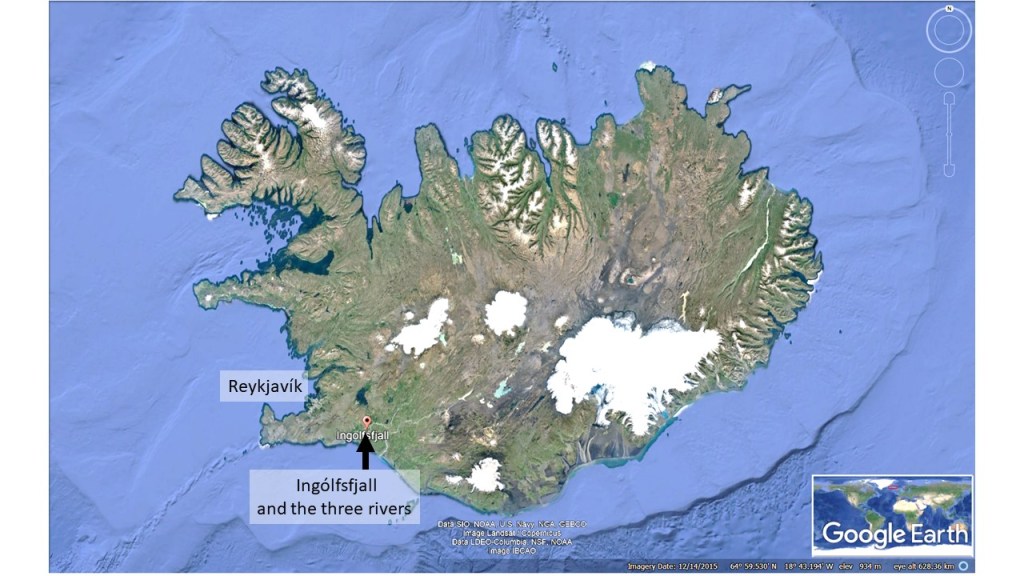
For orientation, Ingólfsfjall is here pointed out on a map of Iceland.
The mountain Ingólfsfjall is found between the town Hveragerði, famous for geothermal activity, greenhouses and flowers, and Selfoss, the largest town within the Southern Lowlands area.
