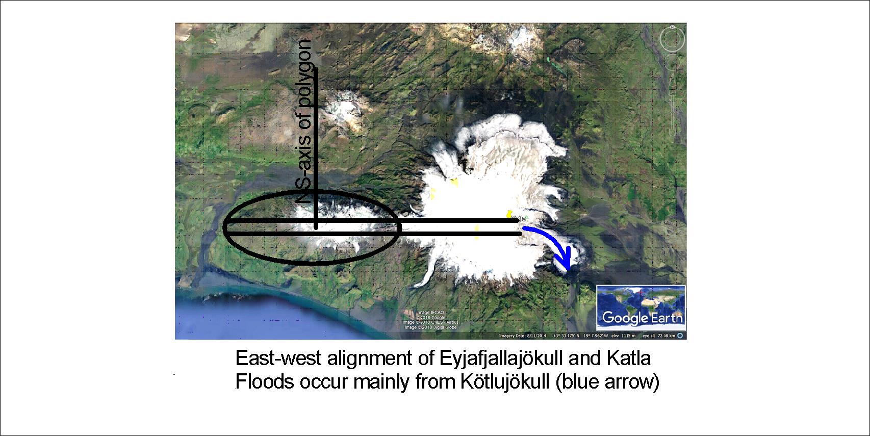
Knowing about the mantle currents makes it possible for us to explain tectonics and topography. An EW-axis is found along Eyjafjallajökull through Fimmvörðuháls and farther to the east over the caldera of Katla. This is how it looks:
Try to look at Eyjafjallajökull and Mýrdalsjökull on Google Map yourself, and trace the EW-axis. The reason can be understood by referring to the pattern of magma currents under the tectonic plates of the Earth.
I am a geologist, graduated from the University of Iceland, and taught geology for a few years. I have gained some knowledge about Earth's inner structure, so I provide this website as my contribution to answer one of the greatest questions remaining within the realm of geoscience. Experiments show that the mantle should form convection rolls when close to the melting point. I took this literally, and calculated the dimensions and shape of these mantle convection rolls. Then I compare that model with the surface. This makes it possible to provide many interesting examples about geology found on my blog.
View all posts by Steingrimur Thorbjarnarson