According to Árni Hjartarson https://orkustofnun.is/gogn/Greinar-starfsmanna/Arni-Hjartarson-2003-PhD/AH-04-Skagafjordur-Zone-an-ephemeral-Rift-Zone.pdf the Skagafjörður Volcanic Zone appeared 1.7 million years ago. It can be analysed according to the convection rolls:
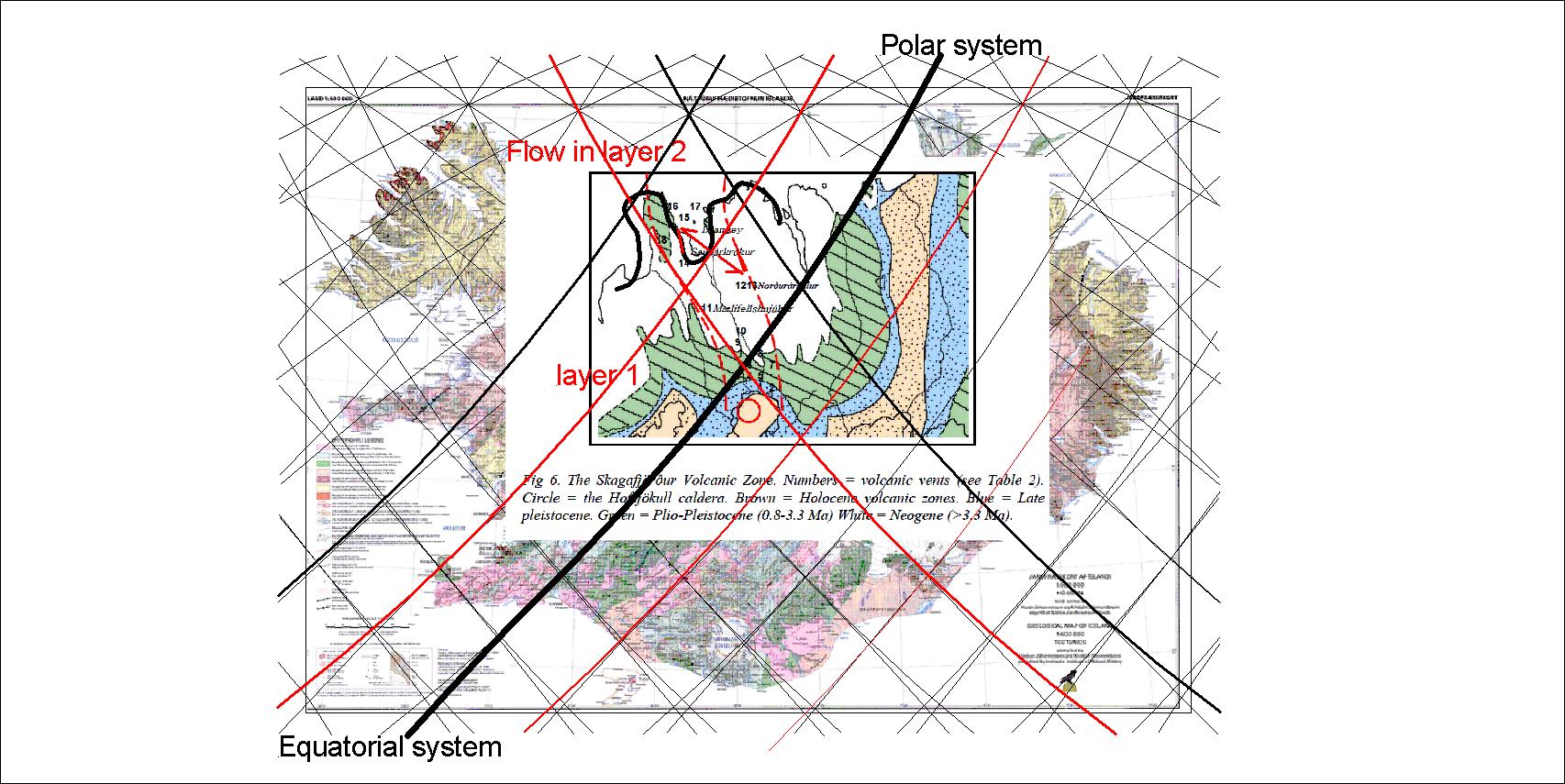
The Northern Reykjanes Ridge Rolls (with upwelling division line) excerts force to the east within the volcanic zone, pulling against the main tectonic drift to the west, thereby causing rifting within the area. The line below adds to the trend, marking the western front of the volcanic zone with a SE-NW alignment. During a million years the zone was active. Today the rift zone east of the main mantle division line (the wide black line) is responsibile for all the drift within that latitude.
The northern end is marked by the Skagafjörður polygon, wehreas the southern end is defined by the Hofsjökull polygon.
