One of the most popular hiking routes in Iceland is over Fimmvörðuháls, between the two volcanic sites of Eyjafjallajökull and the Katla caldera. Actually, the two volcanic systems intersect each other. So do the two glaciers covering the sites.
Eyjafjallajökull has elliptical form, with the long axis oriented exactly EW. Farther along that axis to the east, the real Katla is found. Directly north of Eyjafjallajökull is Hekla.
These EW and NS stories are not just a coincidence to be neglected by us all. These stories include a lot of geology to study.

In Hveragerði Information Center, a model of this area is exhibited. It gives us a clearer view.
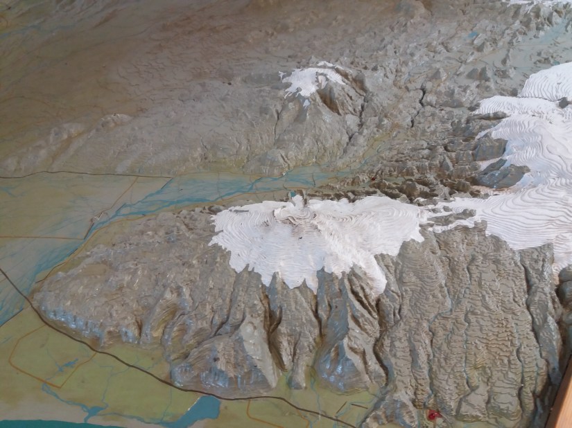
Model of Eyjafjallajökull

And if someone has forgotten how Katla is located on an intersection point, here is a map for review. The top crater of Eyjafjallajökull has a curious position exactly in the middle of the relevant polygon, and thereby in the middle of the East Volcanic Zone.
