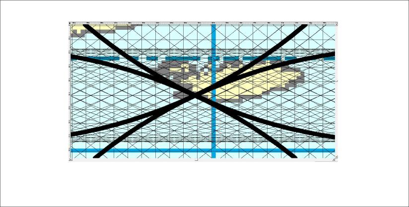
Knowing the position of convection rolls under Iceland, geological analysis becomes much easier. For our curiosity, we can examine the central points and find out which one is most central.

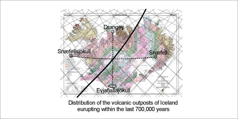
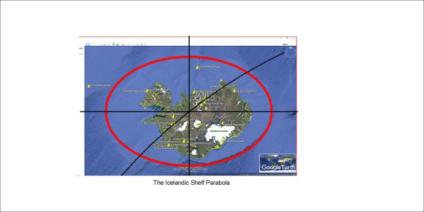
A few candidates appear. The Reykjanes Ridge has a central role for the Atlantic Ocean, but when it comes to Iceland the activity is transferred to the east. The large lower mantle convection rolls form a line from SW to NE under Hveragerði, and the relevant continuation of the circular path does also pass under Hveragerði, making it looking very centrally located. Still, the central role of the minipolygon near Hveravellir is exactly equadistance between Snæfell and Snæfellsjökull on the same latitude, and on the same longitude as Hekla and Eyjafjallajökull, giving it a special central role. The north part of the larger polygon is found to be the center of the Icelandic shelf, forming a surprisingly correct ellipse around the country. Katla is a candidate for being most central compared to the tectonic drift vectors as measured with GPS technology.
Although the idea about hot spot is somehow challenged here, it can be mentioned that usually the hot spot of Iceland is thought to be underneath the western part of Vatnajökull Glacier. It really is a special area, where for instance Bárðarbunga has obviously a special role regarding forming dikes within the rift zone, along with Grímsvötn. The main volcanic zones connect there, so it plays a very central role.
For further reference:

A few different versions of central points 🙂
