This year, 2021, it became the hobby of many people to climb the vicinity of Fagradalsfjall to watch the eruption of Geldingadalir on Reykjanes Peninsula of SW Iceland. Then, for three months, no lava was detected flowing from the craters, and we officially claimed that the event was over. (https://www.ruv.is/frett/2021/12/18/gosinu-lokid-en-afram-kvikusofnun-vid-fagradalsfjall?term=goslok&rtype=news&slot=6) Three days later, similar earthquakes started as preceded the eruption in March. As I have my own model to scrutinize the ongoing, there are a few things to be noted:
- The dike keeps un-solidified in the dike for a rather long time after the eruption has stopped. A possible explanation is continuous flow taking place within it. The flow must have traceable beginning and end point. According to my logic, for those three months of quiescence, magma has been flowing smoothly into the dike from the NE, and out of it at the SW end. If nothing like this would have occurred, the relatively thin dike should have solidified.
- The volume of lava already on the surface can be compared with some facts we know about its origin. (A) With petrological methods it has been found out that it has been melted at the depth of 14-16 km. It gives us the height of the melt zone of 2,000 -3,000 meters from the lowest to the highest level. (B) During the half a year, or so, the first chapter of the eruption lasted, 150,000,000 cubic meters of lava flowed on the surface.
- We know that no indication is available about the real source of the magma. We know about the influx into the dike NE of the eruption site. We can not trace any magma chamber, no original inflow, no lowering at a place where magma might be flowing out to somewhere. We only notice that magma has been flowing into the dike and the related changes of its surroundings. These transactions take place within the ductile crust below Moho, where the flow can not be measured directly.
- I would add a guess, according to my model, that the source of magma is found within the central axis of the Mid-Atlantic Ridge. That axis is actually the division line of two convection rolls, rolling opposite to each other, causing upwelling of magma along the entire Reykjanes Ridge. The line of division can be traced farther than the Reykjanes Ridge itself, and the perpendicular line from the eruption site and the relevant dike is 23 km long, or 23,000 meters.
- We therefore have some information available. a) V=150,000,000 km3, b) h=3,000 m, L=23,000 m. We can the calculate that dike-like melting volume, within the ductile part ot the depth level between 14-16 km, 23 km long, would be about 2 meters wide.
- Considering that not all magma should find its way to the surface, but maybe half of it, the deep-dike width should be about 4 meters. Moreover, the heat source is ascending molten rock, not finding its way to the surface.
- The first melt has accounted for the first chapter of the eruption, but the heat source seems to be still actively adding to the melting process. If the eruption starts again, the petrological difference, evolving over time, could therefore indicate where the real source of magma is found.
This is one way in which we can explain the absence of measureable indications of the origin of magma, providing lava for the Reykjanes Eruption. In Iceland, the name is Geldingadalir Eruption, according to the area where the craters are found. The Geldingadalir valleys are at the side of Fagradalsfjall, a mountain of Reykjanes Peninsula.
A system of earthquake faults is traceable over the peninsula, and the mountain Fagradalsfjall. The eruption takes place through one of those earthquake faults, with N-S orientation at depth, but NE-SW trend at the top. The NE-SW aligned dike does cros the N-S fault at the side of the mountain, and there the eruption takes place. The system of earthquake faults does sway from the E-W oriented South Iceland Seismic Zone over the peninsula, only to become adjacent with the Reykjanes Ridge. As the faults become filled with additional lava, gravity anomalies develop as a result. This is a likely explanation why the so-called V-shaped ridges form semi-parallel to the Reykjanes Ridge. Those are not real ridges, but gravity anomalies due to this additional mantle material which has consolidated within the crust.
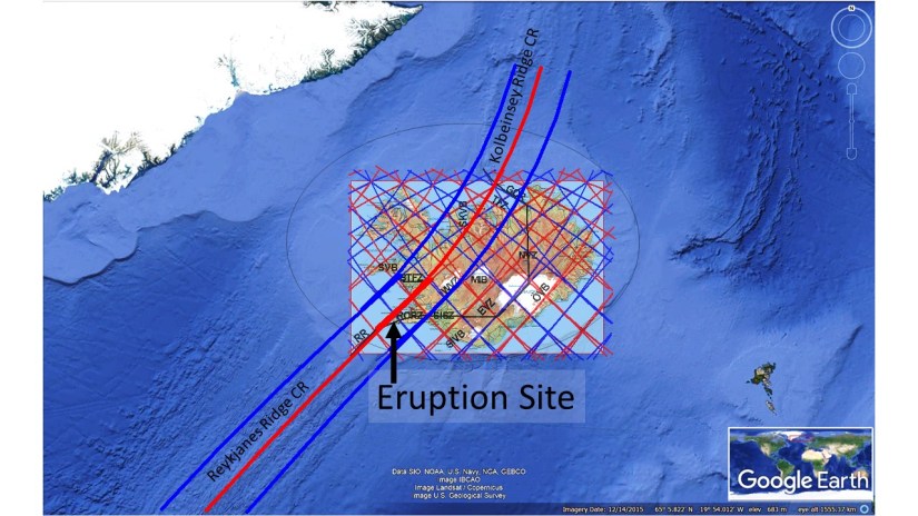
For basic orientation, I add this map:
Hopefully, we can use this opportunity to learn more about the basics of this structure underneath, leading to volcanic eruptions, earthquakes and formation of geothermal areas.
