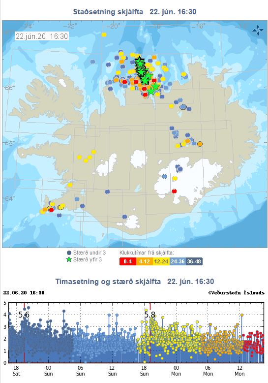
The earthquakes started mainly within the First Polygon, but then spread northwards along the central NS-axis of the Second Polygon shown on the picture above.
Also, it is interesting to see how the earthquakes spread north of Skagafjörður, the old volcanic zone, which has been volcanically extinct for a few hundred thousand years, but is still seismically and geothermally active.
I am a geologist, graduated from the University of Iceland, and taught geology for a few years. I have gained some knowledge about Earth's inner structure, so I provide this website as my contribution to answer one of the greatest questions remaining within the realm of geoscience. Experiments show that the mantle should form convection rolls when close to the melting point. I took this literally, and calculated the dimensions and shape of these mantle convection rolls. Then I compare that model with the surface. This makes it possible to provide many interesting examples about geology found on my blog.
View all posts by Steingrimur Thorbjarnarson