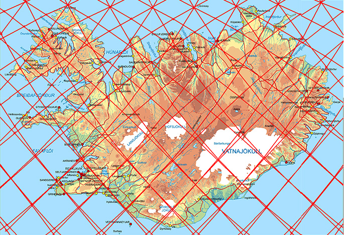
This grid can be used for reference, explaining tectonic features of Iceland.
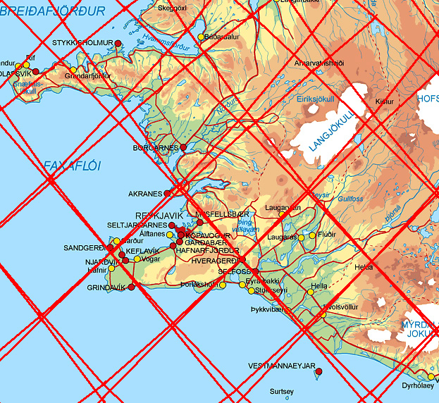
Having a closer look at Reykjanes Peninsula:
Reykjanes Peninsula and the SW part of Iceland
The Icelandic Met Office
The division lines of layer 2 and 4 between 120-410 km below the surface cross the earhquake swarm from SE to NW. A volcanic system and a seismic zone are also found within the area.
I am a geologist, graduated from the University of Iceland, and taught geology for a few years. I have gained some knowledge about Earth's inner structure, so I provide this website as my contribution to answer one of the greatest questions remaining within the realm of geoscience. Experiments show that the mantle should form convection rolls when close to the melting point. I took this literally, and calculated the dimensions and shape of these mantle convection rolls. Then I compare that model with the surface. This makes it possible to provide many interesting examples about geology found on my blog.
View all posts by Steingrimur Thorbjarnarson