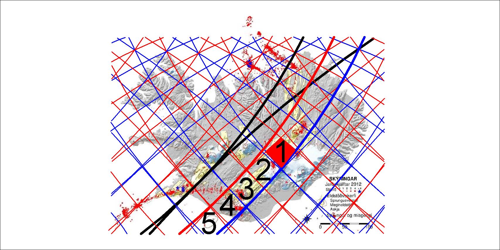
The East Volcanic Zone is divided into 5 parts shown here:
The polygons of the East Volcanic Zone
Each of those polygons is somehow special, and No. 1 fits the area often pointed out as the hot spot of Iceland. It is being pulled to the east and south (as the blue lines show local downwelling) against the main drift direction towards NW. No. 2 and 3 belong to rift zone, but 4 and 5 are sometimes called South Volcanic Zone, because it all belongs to the Eurasian tectonic plate and is not being torn apart. No. 4 is the area of Eyjafjallajökull and Mýrdalsjökull, and No. 5 is the polygon of Vestmannaeyjar.
I am a geologist, graduated from the University of Iceland, and taught geology for a few years. I have gained some knowledge about Earth's inner structure, so I provide this website as my contribution to answer one of the greatest questions remaining within the realm of geoscience. Experiments show that the mantle should form convection rolls when close to the melting point. I took this literally, and calculated the dimensions and shape of these mantle convection rolls. Then I compare that model with the surface. This makes it possible to provide many interesting examples about geology found on my blog.
View all posts by Steingrimur Thorbjarnarson