The Ocean Ridges around Iceland follow the calculated alignment of convection rolls, as shown here:
The ridges compared with convection rolls.
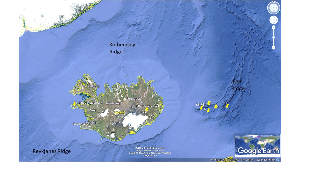
The resemblance is also found for the volcanic zones of Iceland as marked. The two axis the Icelandic ocean floor plateu parabola are marked to show the resemblance with the end of the old, formerly active, Ægir Ridge. Green circle shows the parabola of the ocean floor platform of Iceland, which is almost identifiable with a single look on a Google map. Analysis of that platform shows the two axis, one NS-axis through Hekla, the other EW-axis through Snæfellsjökull and Snæfell. A vertical view from Google maps can be viewed for comparison:
I am a geologist, graduated from the University of Iceland, and taught geology for a few years. I have gained some knowledge about Earth's inner structure, so I provide this website as my contribution to answer one of the greatest questions remaining within the realm of geoscience. Experiments show that the mantle should form convection rolls when close to the melting point. I took this literally, and calculated the dimensions and shape of these mantle convection rolls. Then I compare that model with the surface. This makes it possible to provide many interesting examples about geology found on my blog.
View all posts by Steingrimur Thorbjarnarson