Bulgaria has a central axis along the Balkan Mountains, clearly aligned EW. This gives Bulgaria its square appearance. Comparing the mountainos region with convection cell model, it appears that they have drifted into the central axis enclosure of a row of polygons, therefore adjusted to a perfect EW alignment.
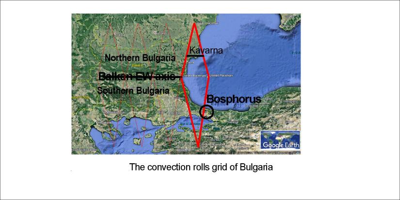
This divides Bulgaria into South and North parts. The coastal polygon is partly responsible for the formation of the Bosphorus.
As previously mentioned, this analysis was made on the occation of a visit to Kavarna with high cliffs at the seaside.

Mnogo dobre!
Published by Steingrimur Thorbjarnarson
I am a geologist, graduated from the University of Iceland, and taught geology for a few years. I have gained some knowledge about Earth's inner structure, so I provide this website as my contribution to answer one of the greatest questions remaining within the realm of geoscience. Experiments show that the mantle should form convection rolls when close to the melting point. I took this literally, and calculated the dimensions and shape of these mantle convection rolls. Then I compare that model with the surface. This makes it possible to provide many interesting examples about geology found on my blog.
View all posts by Steingrimur Thorbjarnarson
