The two parallel volcanic regions of Iceland—the Reykjanes Ridge together with the Reykjanes Oblique Rift Zone and the West Volcanic Zone—form a continuous tectonic structure. A second, parallel structure is found approximately 1.5° farther east and consists of the Vestmannaeyjar (Westman Islands), the South Iceland Volcanic Belt, and the East Volcanic Zone. These two volcanic lineaments are compared here.
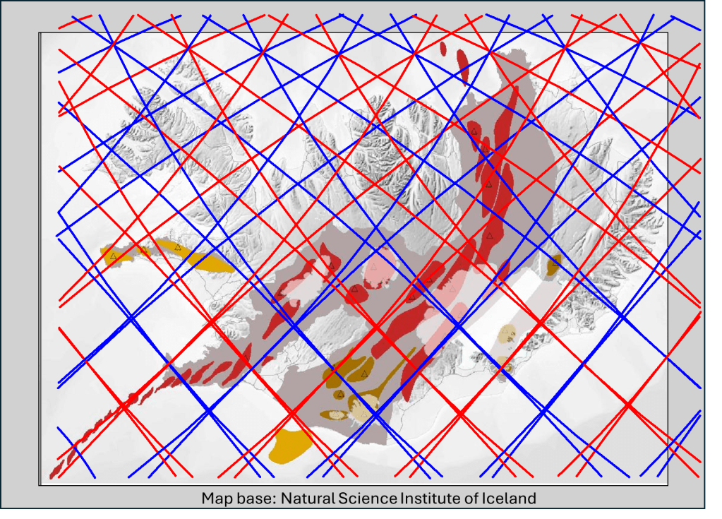
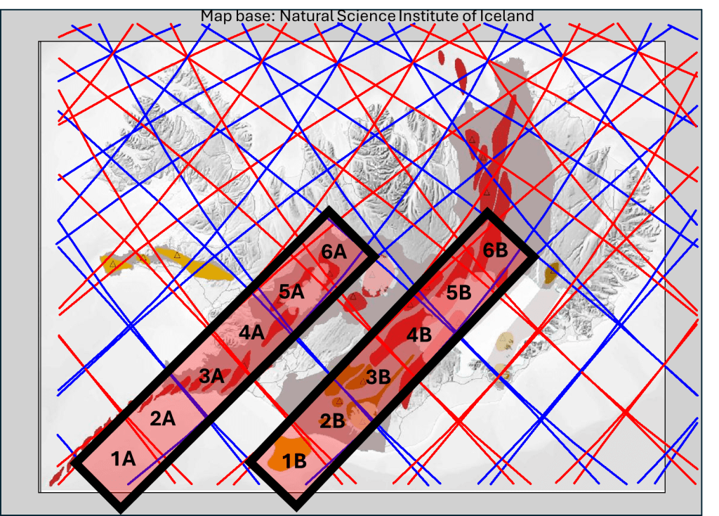
The parallel geometry of the two structures is discussed, followed by a closer look at their internal details. The western set of volcanic systems is divided into polygons 1A–6A, while the eastern set is divided into polygons 1B–6B.
Comparison of individual polygons
1A and 1B:
Polygon 1A represents the northern end of the Reykjanes Ridge before it turns westward. Polygon 1B contains the Vestmannaeyjar volcanic system.
2A and 2B:
Polygon 2A still represents the Reykjanes Ridge and includes the first volcanic systems on the Reykjanes Peninsula. Polygon 2B contains Eyjafjallajökull, Katla, and several additional volcanic centers of the South Iceland Volcanic Belt.
3A and 3B:
Polygon 3A contains numerous volcanic systems arranged in a clear en echelon pattern. The westernmost system is Hengill, which extends into polygon 4A. The combined active areas of polygons 3A and 3B span approximately 1.5° in an east–west direction. The Grímsvötn volcanic system extends into polygon 3B and then turns sharply southward into the next polygon.
4A and 4B:
Polygon 4A contains two volcanic systems, both located in the western half of the polygon. A structural shift is evident here: instead of the Reykjanes Ridge being aligned along the western boundary of the polygon set, the volcanic systems are now aligned along the eastern boundary. Þingvellir National Park lies near the center of this polygon and is commonly interpreted as a clear expression of plate divergence.
In contrast, polygon 4B is almost completely filled with volcanic systems, dominated by the Grímsvötn and Bárðarbunga systems.
5A and 5B:
Polygon 5A is dominated by Langjökull and its associated volcanic systems. These systems occupy a wider zone than those in polygon 4A but are still concentrated toward the western side of the polygon. Polygon 5B is again densely populated with volcanic systems, including Grímsvötn in the south, Kverkfjöll in the east, and Bárðarbunga near the center.
6A and 6B:
Polygons 6A and 6B belong to the two parallel volcanic belts, but in both cases the tectonic alignment of fissures and volcanic systems changes at this latitude. North of polygon 6A lies the extinct Skagafjörður volcanic zone, which is not shown on the map because volcanic activity ceased there several hundred thousand years ago. Polygon 6B marks the onset of the North Volcanic Zone, which is aligned directly northward.
Interpretation
The observed geometry and continuity of these volcanic belts can be explained by the presence of long-lived mantle convection rolls beneath Iceland. The two parallel A and B polygon sets are connected by a transitional region, often referred to as the Mid-Iceland Belt. Examination of the details shows that the division lines correspond closely to the southern and northern limits of volcanic activity within this region.
This framework provides a clearer understanding of volcanic activity in Iceland. The two parallel volcanic structures are particularly well suited for analysis and interpretation. The next step is to examine the remaining volcanic zones, including Snæfellsnes, Öræfajökull, North Iceland, and Grímsey.
