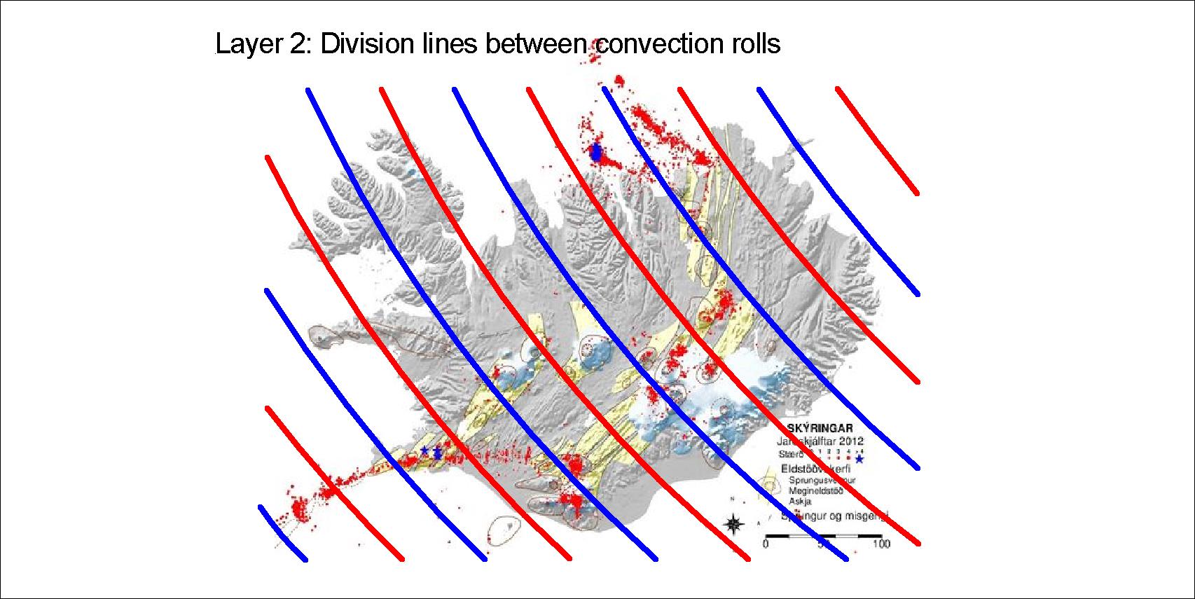
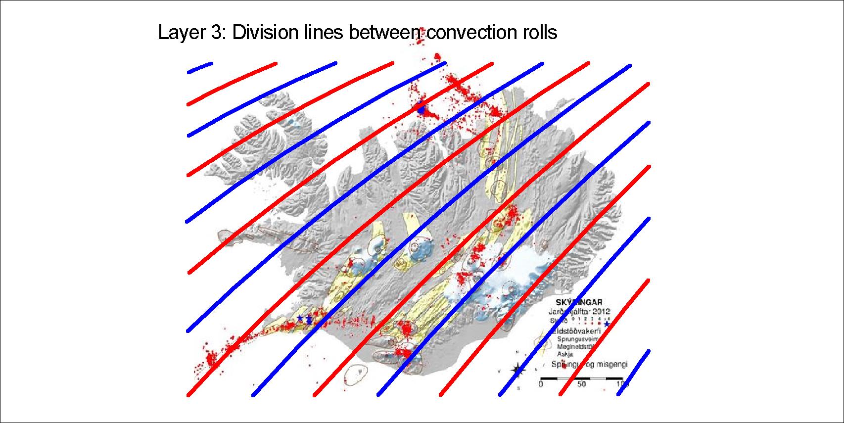
The layers between 120 and 410 km depth affect the tectonics of Iceland. Within the division lines between the rolls, Munroe effect sends magma up into the tectonic plate, marking polygons at the surface. The four sets of division lines of the four layers are drawn here, red for upwelling and blue for downwelling.
The upper most layer extends NE to the poleLayer 2 extends NW towards the poleLayer 3 extends SW to equatorLayer 4 extends SE to equator
The situation in Iceland is exceptional, as south of 60.7°N there are only two layers within the range of 120-410 km.
The four layers explained, layer 1 at the top and layer 4 at the bottom. Below layer 4, ther large convection cells of the lower mantle extend down to the Gutenberg layer
These four layers have to be looked at in context with the large convection rolls of lower mantle. The tectonics of Iceland can then be studied in detail by referring to the convection rolls system.
The four layers combined
By drawing all the lines on one map, the pattern ruling the formation of tectonics in iceland is shown.
I am a geologist, graduated from the University of Iceland, and taught geology for a few years. I have gained some knowledge about Earth's inner structure, so I provide this website as my contribution to answer one of the greatest questions remaining within the realm of geoscience. Experiments show that the mantle should form convection rolls when close to the melting point. I took this literally, and calculated the dimensions and shape of these mantle convection rolls. Then I compare that model with the surface. This makes it possible to provide many interesting examples about geology found on my blog.
View all posts by Steingrimur Thorbjarnarson